🚑 🆘 Enhancing Emergency Management with Digital Asset Mapping 🌪️
October 6, 2023
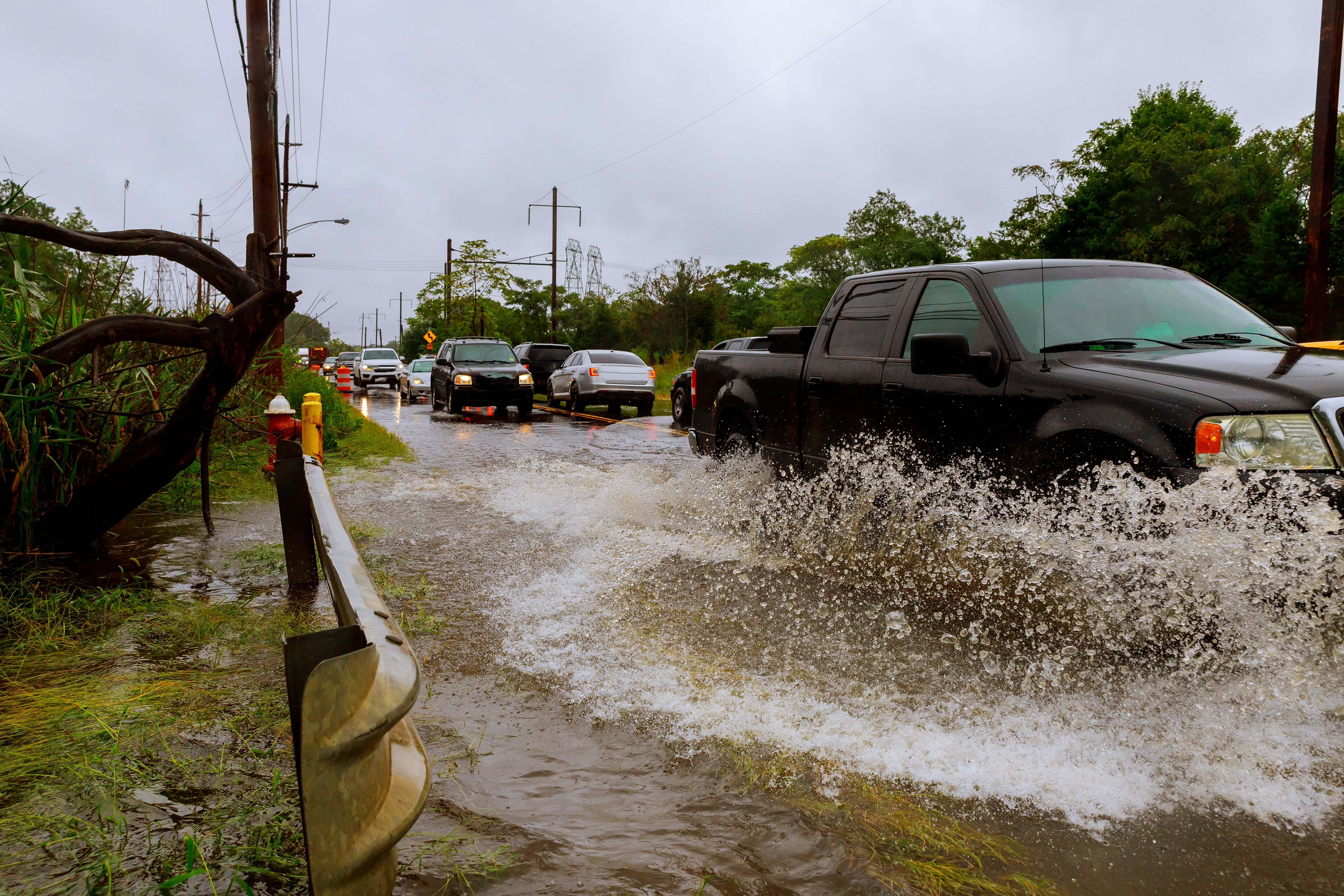
In times of natural disasters, government agencies such as FEMA heavily rely on efficient asset management to locate critical resources and provide timely assistance.
Emergency management plans play a crucial role in safeguarding the safety and well-being of hospitals, nursing homes, and the general public during these challenging times.
Below we’ll cover the significance of accurate asset location and servicing post-disaster. We will also explore the top 4 advantages of digital mapping for emergency management, including enabling quicker response times and better-informed decisions for both first responders and the public.
- Accurate Asset Identification
One of the key aspects of emergency management is having a comprehensive digital map that highlights critical assets. This includes valves that lead to essential facilities such as hospitals, nursing homes, schools, and other high-risk areas. By implementing detailed information into the fields, first responders and field workers can quickly identify and prioritize critical assets during an emergency. For instance, valves, hydrants, and utility lines can be marked to ensure timely shutdown, minimizing further damage and ensuring the safety of nearby residents. Along with the detailed information, color conditions can be set on critical assets. Allowing emergency workers to quickly identify critical features. - Enhancing Resilience with Detailed Information
Creating digital maps with GPS coordinates and photos attached to critical assets is instrumental in helping service workers locate these utilities, even when they are obscured by debris or floodwaters. This level of detail becomes indispensable in scenarios like tornadoes or floods when quick and accurate asset retrieval is essential. Additionally, adding floor plans and 3D scans to the facility aids in navigating compromised buildings, enabling responders to identify critical infrastructure and plan rescue operations effectively. - Empowering the Public with Accessible Information
Digital mapping for emergency management not only benefits response teams but also plays a vital role in empowering the public. By providing a view-only map, residents can quickly locate their nearest emergency shelter, food bank, or other essential resources. Including pertinent details like phone numbers and addresses allows individuals to access assistance promptly during these challenging times. Empowering the public with necessary resources fosters resilience and helps communities recover faster. - Preparing for Future Disasters
Emergency preparedness extends beyond immediate response measures. Utilizing digital maps to identify areas at high risk of natural disasters, such as floodplains, earthquake-prone regions, and areas susceptible to forest fires, enables proactive planning. Armed with this data, emergency response teams can anticipate potential crises, plan effective evacuation routes, and educate the public about necessary safety measures. Such proactive measures are crucial in minimizing the impact of disasters and safeguarding lives and property.
Digital asset mapping has emerged as a powerful tool in enhancing emergency management efforts.
By accurately identifying critical assets, providing detailed information to service workers, and empowering the public with accessible resources, digital maps streamline disaster response and facilitate quicker recovery.
Proactively identifying high-risk areas also enables emergency preparedness and reinforces the safety of communities in the face of natural disasters.
Through the integration of advanced technologies like digital mapping, we can significantly improve our emergency management capabilities and protect lives and property during times of crisis.