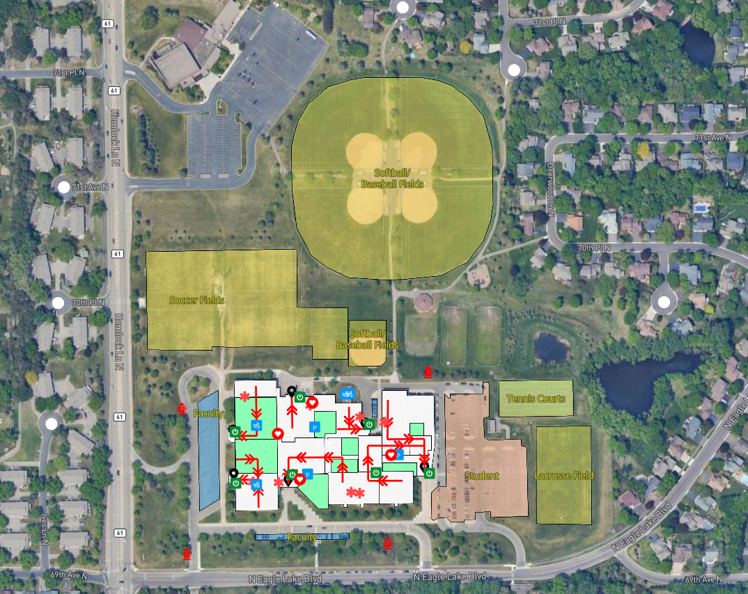
iamGIS offers comprehensive GIS, asset, and facilities management solutions specifically designed to address the unique challenges faced by educational institutions.
Our advanced technology empowers schools to streamline operations, enhance maintenance efficiency, and create optimal learning environments.
Why iamGIS for School Districts

Software used by school districts to map buildings, track assets and manage work across your district
Easily locate evacuation routes, 911 call locations, AEDs, security cameras, alarms and more
Map all buildings, rooms, and floors to assist with Incident Response and share with first responders
Create projects, work orders and tasks to enhance maintenance schedules and operations
Access from any device, ensuring accessibility inside and out of your schools and buildings
With many system reports, dashboards and custom filters, access the data you need
