3D Mapping and Walkthroughs
Elevate your facilities with iamGIS, offering immersive 3D mapping and walkthroughs for realistic visualization, interior layouts, and architectural features, and greater understanding of space utilization.
Key Features
Floorplans
With our advanced 3D mapping technology, we create highly detailed and accurate digital twins of your assets, including buildings, infrastructure, landscapes, and indoor spaces, capturing every intricate detail to provide comprehensive models even if floor plans are unavailable.
Virtual Walkthroughs
Step into the virtual world and gain a comprehensive understanding of your facilities through interactive walkthroughs, allowing you to navigate, explore every corner, and analyze spatial relationships as if you were physically there.
Spatial Intelligence
Unlock valuable insights with our powerful 3D mapping capabilities, enabling spatial data analysis, precise distance measurement, volume calculations, and effortless identification of potential issues or improvements.
Collaborative Decision-Making
Facilitate collaborative decision-making by sharing 3D models and walkthroughs with stakeholders and team members, engaging them in visually rich and interactive experiences to virtually showcase your assets and encourage meaningful engagement.
Enhanced Asset Management
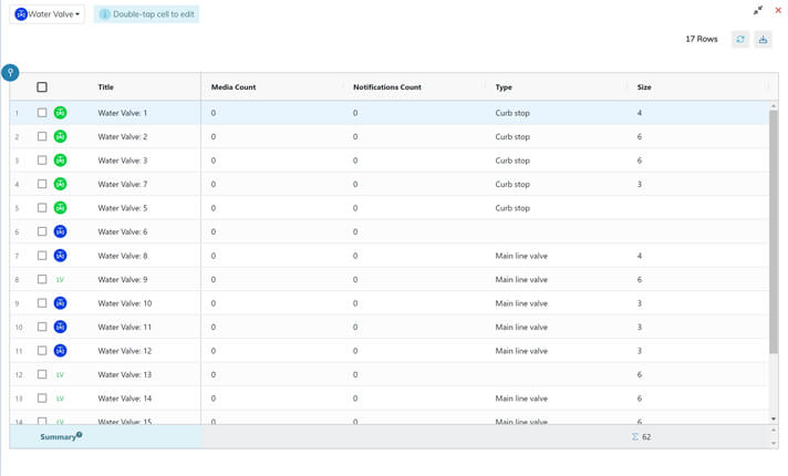
Gain a holistic view of asset location, maintenance activities, and performance by leveraging our amazing tagging system, allowing you to visualize asset locations, track maintenance activities, and achieve comprehensive insights into the condition and performance of your assets.
.webp?width=800&height=502&name=facilityoverlay%20(1).webp)
Overlay Building Plans
Efficiently manage facilities by overlaying building plans onto your spatial data, optimizing workflow paths, identifying bottlenecks, and gaining insights into spatial relationships for informed decision-making.
Seamless Integration and Data Synchronization
Consolidate and synchronize facility-related data from various sources, including CAD files, GIS data, IoT sensor networks, and facility management systems, through our GIS platform, providing a centralized hub for unified, up-to-date facility mapping and enabling informed decision-making.
-1.webp?width=800&height=503&name=spatialanalysis_webp%20(1)-1.webp)
Spatial Analysis and Optimization
Optimize facility management with our GIS platform's spatial analysis tools Enable spatial queries, pattern identification, and data-driven insights for enhanced efficiency. Visualize and analyze facility data in a spatial context, leveraging features like 3D mapping, walkthroughs, and overlaying building plans. Experience the power of spatial intelligence to optimize operations and drive informed decisions in facility management.